Geographic Information Systems (GIS) for Ecological Monitoring Pathway
This pathway focuses on applying GIS tools to support ecological monitoring, restoration, and land stewardship at Saint Edward State Park. Interns contribute to ongoing spatial data projects that inform conservation efforts, guide restoration work, and enhance understanding of the park’s ecosystems.
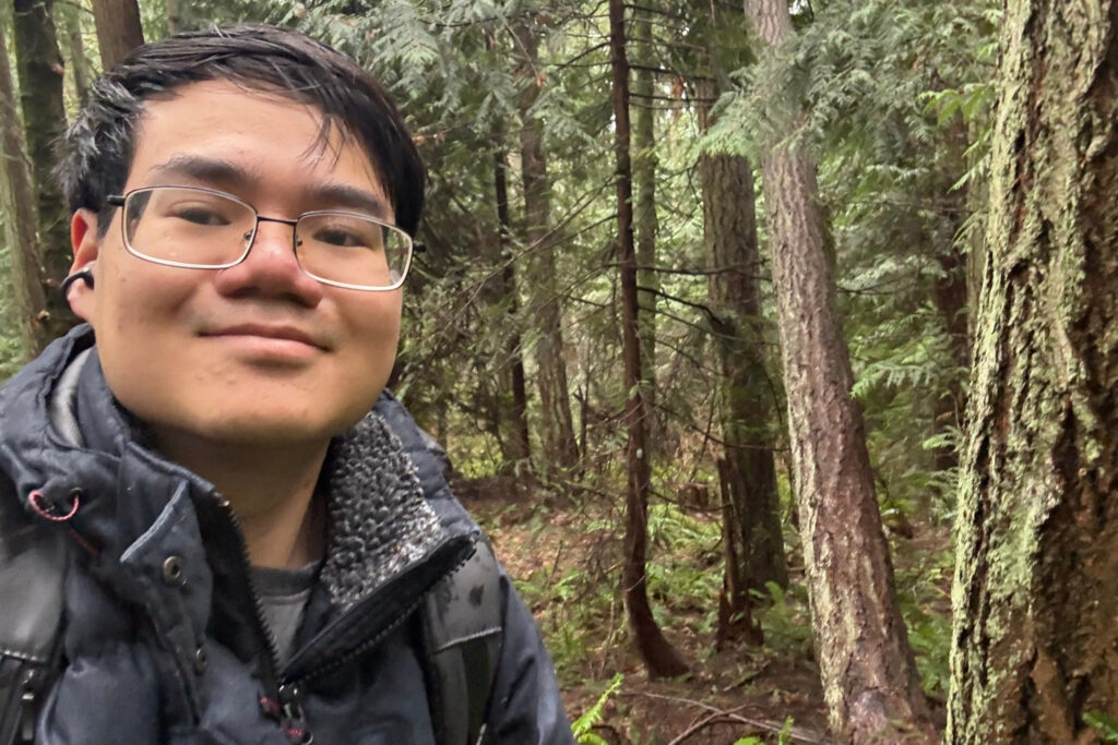
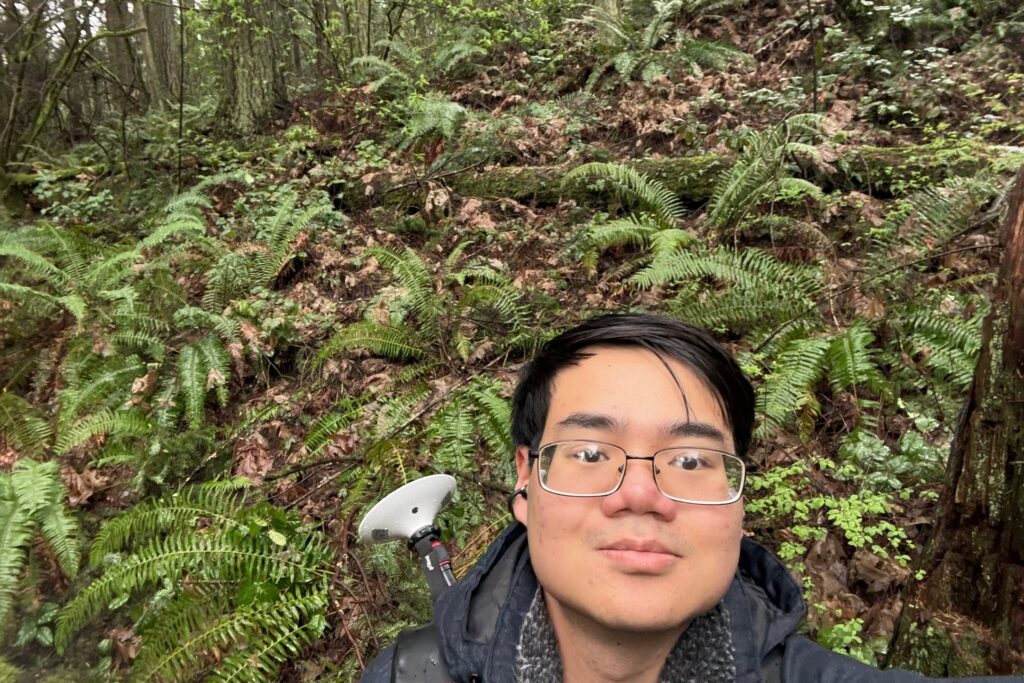
Interns collaborate with CoSEE staff and work closely with Dr. Santiago Lopez to collect, manage, analyze, and visualize geospatial data. The work emphasizes real-world application of GIS skills in a dynamic field setting, supporting both internal projects and community-facing resources.
Projects may include:
- Conduct monthly field-based data collection to support ongoing GIS projects
- Create, update, and maintain digital maps of park features and ecological data
- Map invasive species distributions and track priority native species across the park
- Develop comprehensive GIS layers and datasets for Saint Edward State Park
- Analyze spatial data to support restoration planning and ecological monitoring
- Collaborate with interdisciplinary teams to integrate GIS into CoSEE programs
- Create accessible maps and visualizations for education, outreach, and decision-making
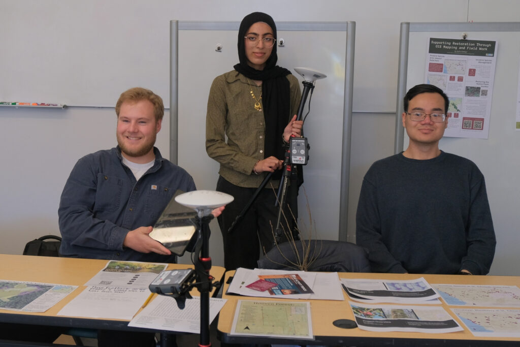
Past project highlights
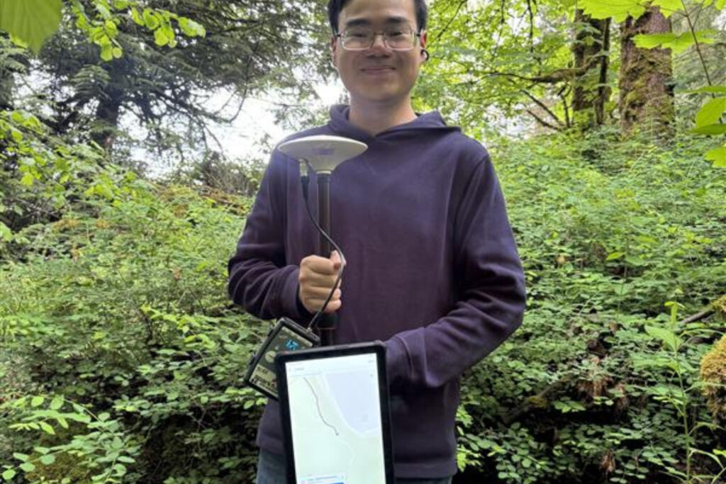
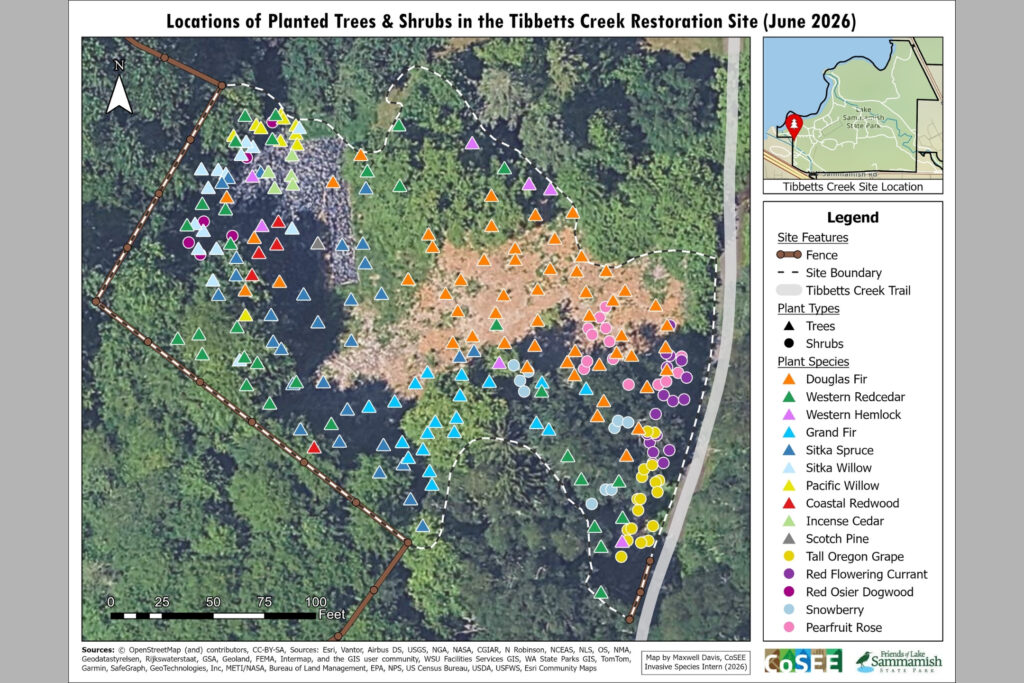
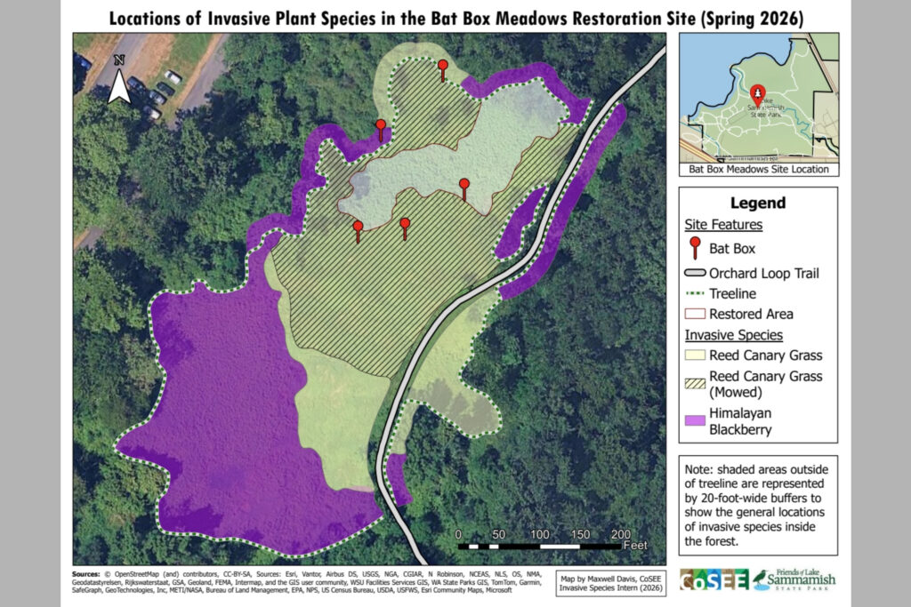
UW Bothell intern working with Lake Sammamish State Park to help map invasive species
Max supported the Friends of Lake Sammamish State Park with the mapping of key native, invasive, and planted species within the park. His work included using Field Maps and Arc GIS Pro and creating maps for both internal and external use. He collected all the data, created the maps and then gather feedback from stakeholders to improve the usability of the maps.
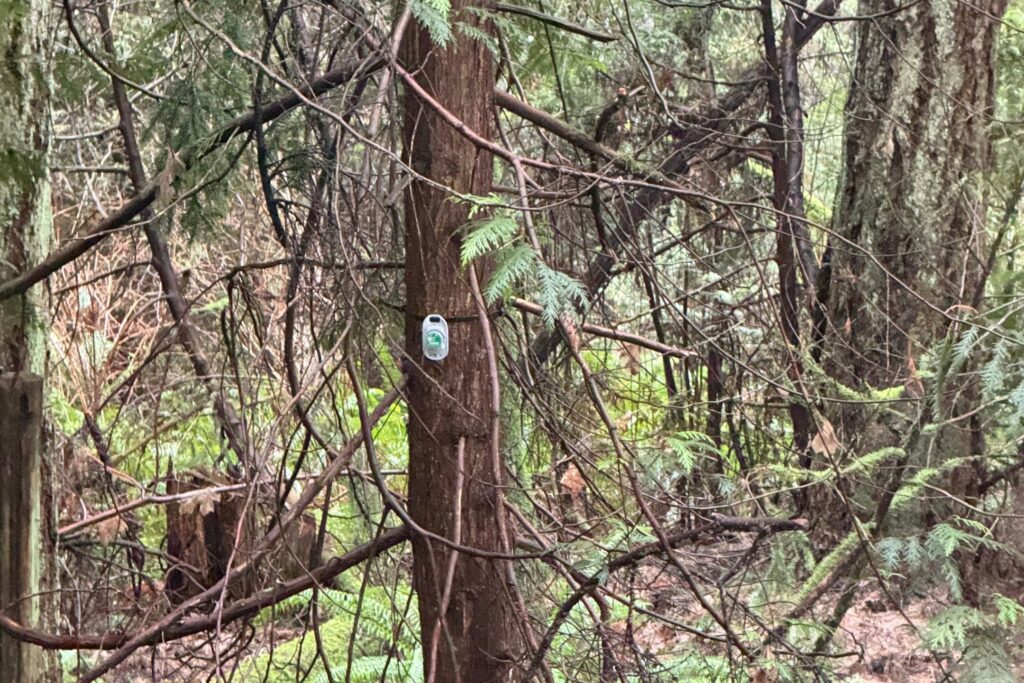
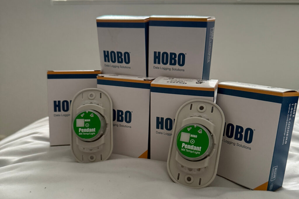
UW Bothell AmeriCorps intern helping collect data through new sensors at St. Edwards
Dan has been supporting the work of Dr. Santiago Lopez in Saint Edward State Park collecting light and temperature data from sensors located at key points within the park. Dan helped expand the sensor program by placing an additional 15 sensors all over the park and supporting with creating a clear internal use path map to gather all the data in the most efficient way.