A more meaningful map
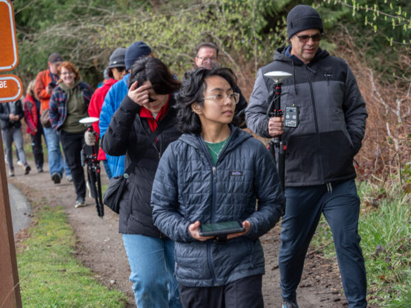
After recognizing the continuous struggle with outdated maps at Saint Edward State Park in Kenmore, UW Bothell intern, Janelle Adsuara, led the Mapping the Park 101 to re-map the lost trails utilizing advanced GIS and GNSS technology. The CoSEE class gathered 30 volunteers to collect geographical and ecological data, not only contributing to future conservation efforts but also consolidating a connection between the university and the community.
Learn more about Community-Engaged Learning & Research classes or how you can start research as an undergraduate.