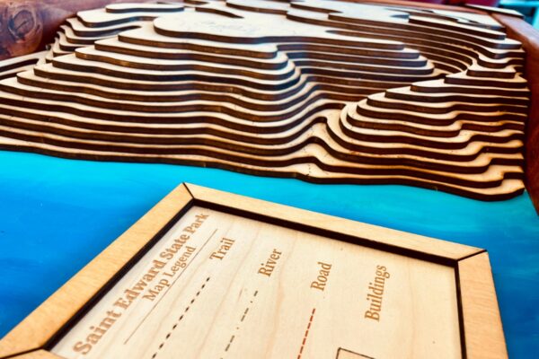
EERC Topographic Map
The Collaboratory teamed up with the UW Bothell at the Environmental Education and Research Center (EERC) at St. Edward State Park to design a topographic map model of the park. Santiago Lopez and Lily Cason from the EERC communicated with the Collaboratory through the whole design process to fabricate a perfect replica of St. Edward State Park.
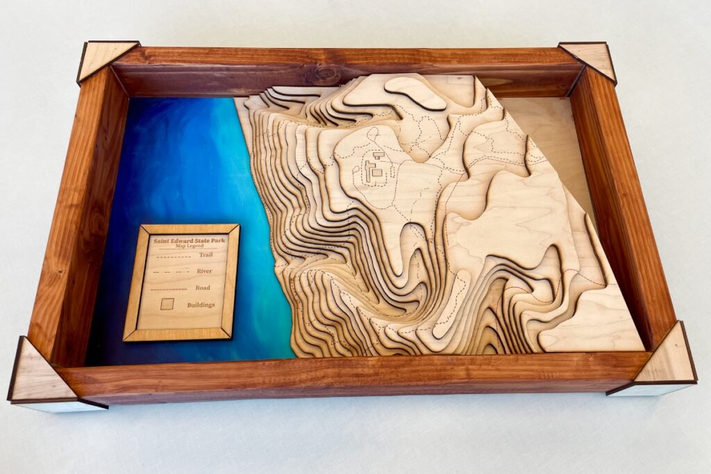
The topographic map was designed and constructed by Drake Monfregola, the Laser Cutting lead at the Collaboratory. All he used as a reference for the model was a single PDF of the levels of elevation of the park. With the skills he has in Adobe Illustrator, he designed each layer of the map one by one.
Afterwards, he moved to line up the trails, which posed a bigger challenge than the Collaboratory team initially thought. But after time, the map base was complete. Now all that was needed was to assemble the border and paint the bottom plate. Samantha Brown, a student staff member at the Collaboratory, was tasked with completing the EERC topographic map, leveraging her painting and woodshop skills. With the assistance of Giuliano Bussadori, she carried out the final steps, and the map was successfully finished.
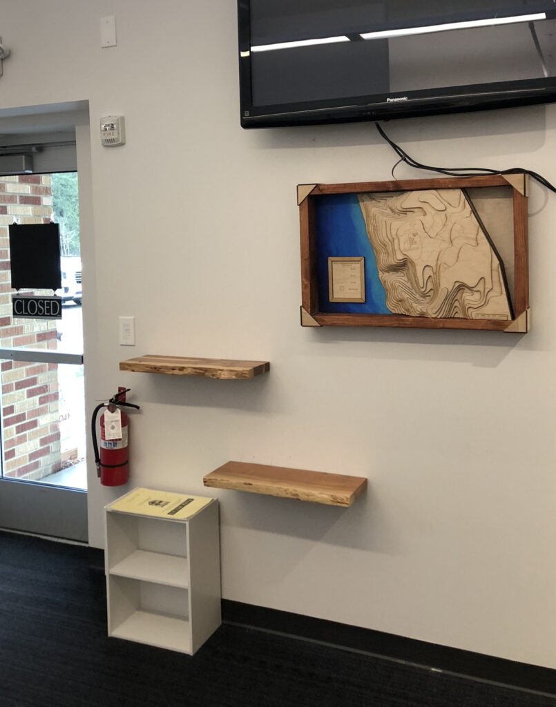
EERC visitors can now visualize and navigate the park’s intricate terrain with this new map.