Trees serve a variety of roles in an urban environment — from aesthetic beauty and historical significance to cooling city streets and promoting biodiversity. To ensure their proper care, maintenance and preservation, it’s essential to know where each tree is and the value it provides.
In 2024, the city of Kenmore, Washington, set out to do just that: create an inventory of every tree in the city.
“This work is important as it’s one piece of the puzzle of ensuring we are prioritizing our tree canopy, which combats the urban heat island effect,” said Nina Rasmussen, Climate Action Plan program manager. “With hotter summers becoming more frequent, protecting and growing our tree canopy ensures a better quality of life for our residents.
“And ultimately, it helps us protect our natural habitat and the biodiversity within it.”
This summer, recent University of Washington Bothell graduates Dan Nguyen and Oliver Souliere interned with the city to aid in the completion of the inventory.
Nguyen and Souliere both graduated in June 2026 but have continued to serve as interns in UW Bothell’s Collaborative for Socio-Ecological Engagement, a University-led research and learning unit that hosts interdisciplinary, equity-centered, place-based research and learning programs.
Gaps to fill
It was through CoSEE’s partnership with the city of Kenmore that the pair began working on the tree inventory project.
The city had catalogued about 15,000 trees since the project began in 2024, and much of that work was completed by interns. Nguyen and Souliere’s roles were to take the project across the finish line, plugging in data gaps for another 3,000 trees.
“Both of us want to work in geographic information systems and mapping natural resources, just like this project,” said Souliere, who graduated with a degree in Data Visualization and minors in Computer Science & Software Engineering and in Data Analytics. “This internship is super involved in the technologies required to go out and do this stuff in the real world.
“I like the experience of getting to expand my GIS toolkit and networking with people who are doing the work that I want to be doing two years from now,” he said. “That’s what excites me about this work.”
“I like the experience of getting to expand my GIS toolkit and networking with people who are doing the work that I want to be doing two years from now.”
Oliver Souliere, Data Visualizion ’26
Nguyen’s passion for GIS wasn’t something he discovered until his senior year after he developed an interest in salmon conservation. Looking to gain field work experience, he volunteered with Trout Unlimited.
“Working with my mentor, Dr. Santiago Lopez [professor, School of Interdisciplinary Arts & Sciences], he was able to guide me to bridge what salmon conservation can be with how GIS itself as a tool can help with conservation,” said Nguyen, who graduated with a degree in Biology and a minor in Data Analytics. “And that’s what got me to where I am.”
On the streets
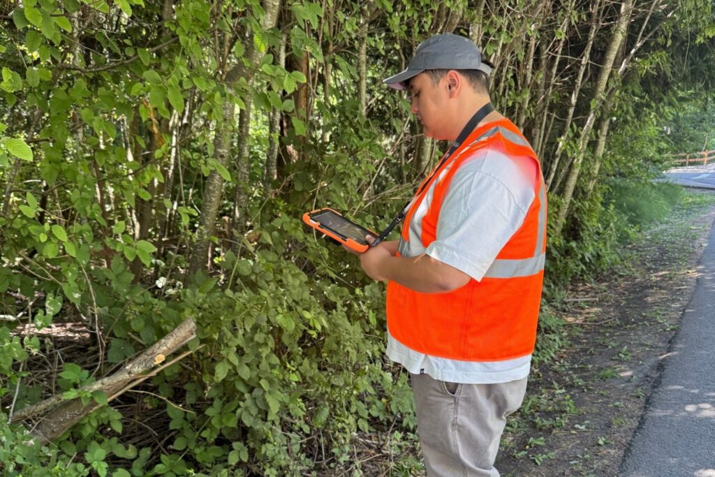
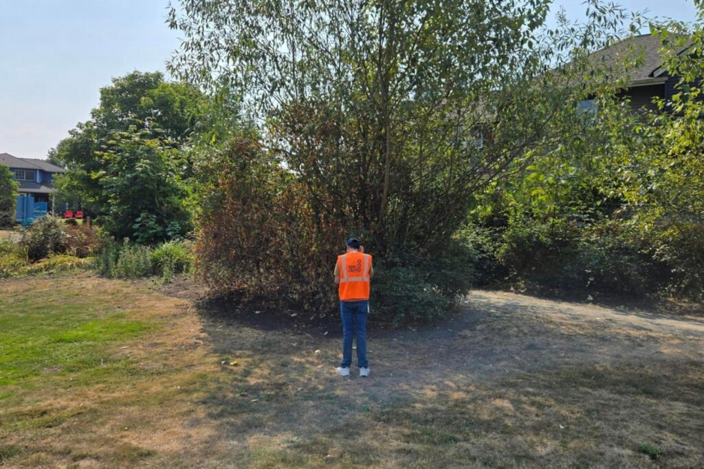
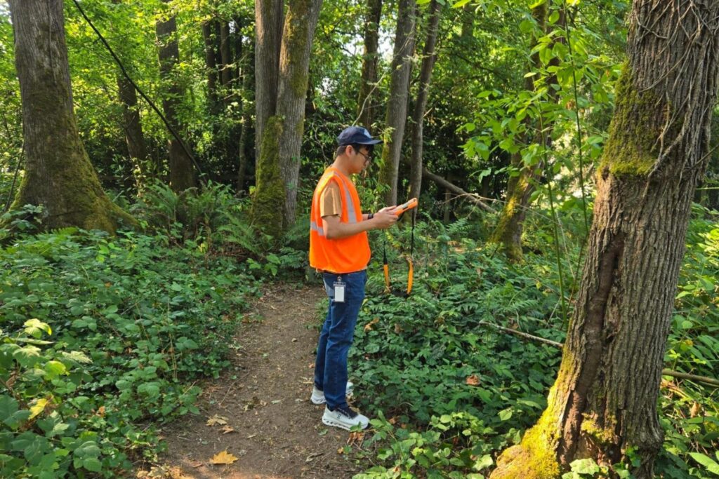
During their 13-week internship, the pair systematically reviewed the existing spatial data to identify where information was lacking — whether it be the species name, the health or condition of the tree, photos or other details. Then, they took to the streets to fill in the gaps.
Rasmussen noted that the project is part of Kenmore’s ongoing climate and environmental work. The completed inventory will aid in plans for maintenance, as well as identifying trees of significance, she said.
While mitigating the urban heat island effect is the driving force behind the project, “significant” also refers to the heritage aspect of the trees, Nguyen said. “Preserving old growth and being able to see those trees over generations, I would say they’re also there to support the community in the sense that it serves almost like a landmark.
“Those trees have been in the community’s life for so many years,” he said, “that if they were taken down, that would be a part of history — a part of the city itself — that would be lost and could have otherwise been planned around to avoid that loss.”
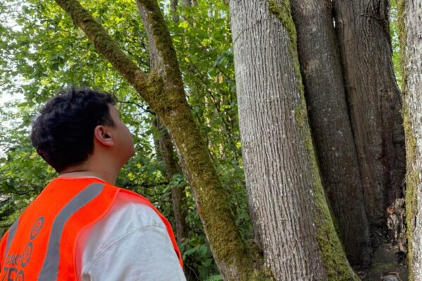
The interns used ArcGIS software and field maps to find the clusters of trees that were missing data. Their field work led them from tree-lined neighborhoods and public streets to clusters of trees in parks and other areas untouched by development.
“Instead of thinking about the trees we see on the side of the road as a collective, this project has given me the opportunity to see them individually,” Nguyen said.
The forest for the trees
Nguyen and Souliere both want to become GIS specialists and are continuing to seek out opportunities to gain more exposure to the field. Their internships helped them gain real-world experience not only in the GIS aspects of the job but also networking and office skills.
“The city strives to support a growing environmental and climate workforce, and this partnership allows us to better connect with youth and students on that path,” Rasmussen said. “The students gain real-world experience with a real client-led project that requires problem-solving and strong communication.”
The internships provided immense value to both the students and the city — and Rasmussen hopes to continue offering similar internship opportunities in the future.
“This partnership allows us to provide skill-building opportunities and directly play a part in building up the next generation of leaders.”